|
| Tramping down the Dart River, my trek enters "Lord of the Rings" territory. There was a resemblance to the terrain in the movie, and I passed one site where actual filming took place. |
|
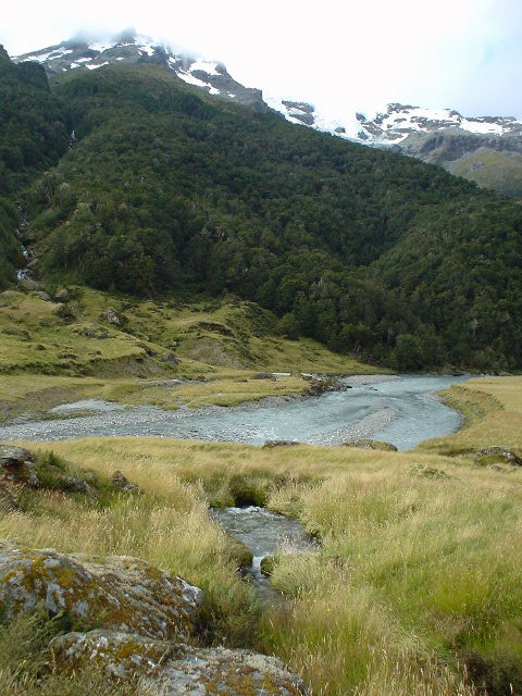
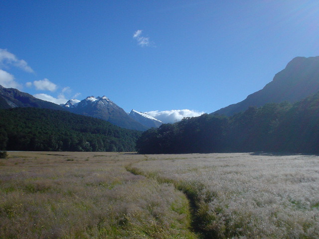
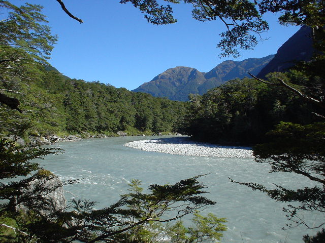
| The Dart River is ringed by high snow-covered mountains |
|
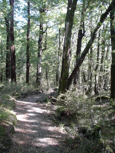
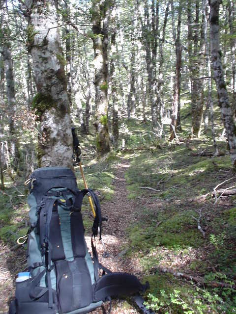
| The Dart River Track itself was broad and even, easy walking though open forest that reminded me of some parts of the Pacific Crest Trail, particularly Washington State |
|
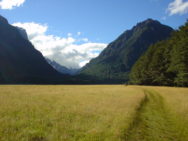
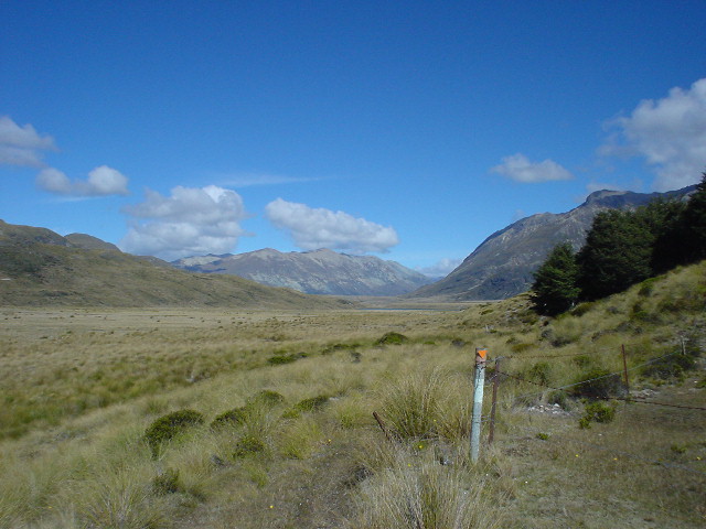
| The Dart River Track also passed through open grassy flats |
|
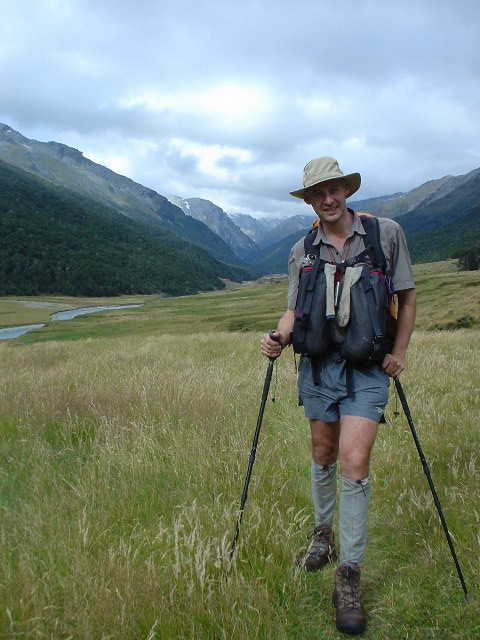
| Walking through forest along the Dart River for roughly 25 km was a wonderful part of Section M. I couldn't help all the photos! |
|
| Michael Johnson was tramping the length of the South Island, from South to North, on a much more difficult route than mine, on sometimes untracked parts of the Southern Alps and other ranges, and we passed each other on the Dart River! He started in the late summer to avoid hayfever troubles and planned to finish by the end of May (almost wintertime). |
|
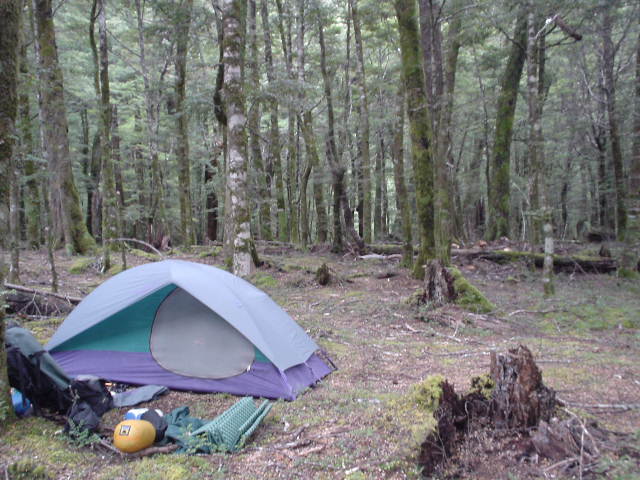
| Camped in Middle Earth. There must have been something magical about this spot, as I slept peacefully for a full 12 hours! |
|
| This is the actual site of Isengard in Lord of the Rings. Another movie company was here filming something else the day that I passed. |
|
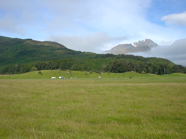
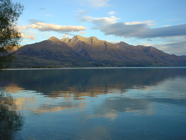
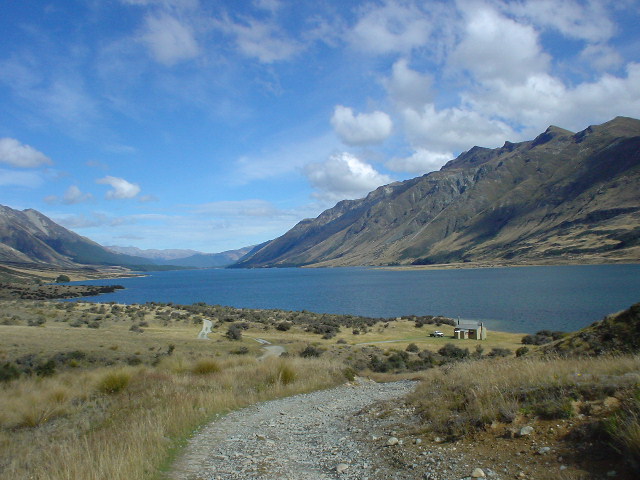
| View of the Richardson mountain range across Lake Wakatipu from my campsite in Kinloch |
|
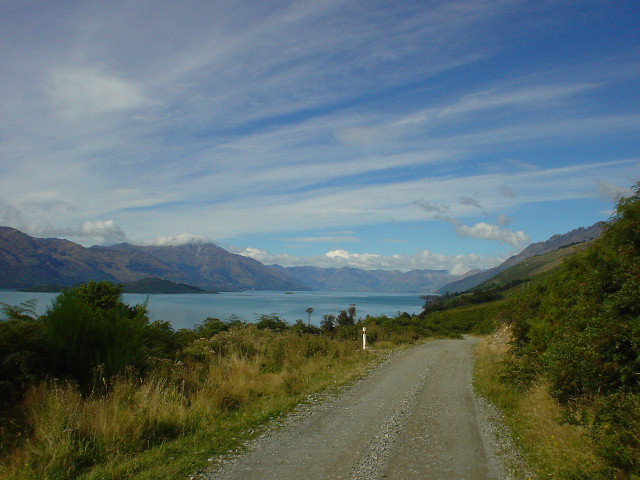
| The dirt road south of Kinloch skirts the western shore of Lake Wakatipu to reach the Greenstone Track, another beautiful and smooth-surface track through open forest like the Dart River Track. |
|
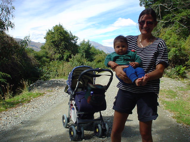
| Betina was "tramping" with her 8-month old son Max. Both were in NZ from Germany for several weeks, camping in a borrowed van and doing ambitious day tramps (with Max in a backpack) along many of the tracks I've taken. I met them far from civilization on this remote dirt road as they tramped north and I tramped south. |
|
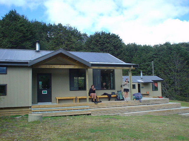
| Greeenstone Hut with hut warden Bruce and a tramper sipping coffee on the porch mid-morning |
|
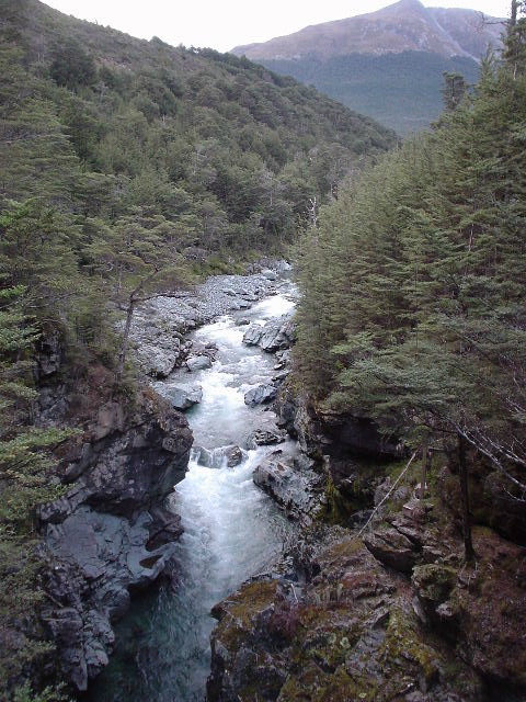
| Greenstone River gorge, seen from footbridge leading to Greenstone Hut |
|
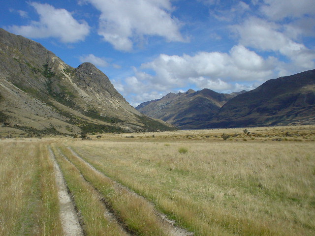
| The Mavora Walkway starts through open beech forest.... |
|
| ...and continues along open tussock flats in the river valley, with sometimes just marker poles to follow but no obvious track... |
|
| ...eventually becoming a "4WD track" where vehicles are allowed... |
|
| ...and finally reaching peaceful North Mavora Lake. Carey's Hut shown in photo. |
|
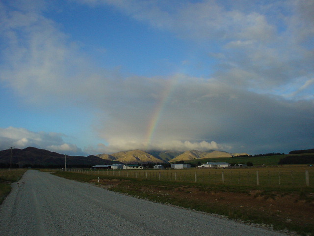
| Mavora Lakes to Mossburn is a wide metalled (gravel) road past farmland (and rainbows!) |
Page updated March 21, 2004