
|
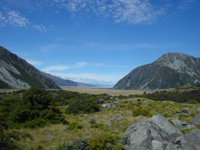
| Looking south down the Tasman River valley from near Mt. Cook Village |
|
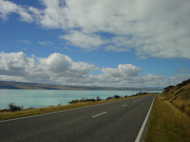
| Leaving Mt. Cook, the highway follows the shore of Lake Pukaki for 40-km south of Mt. Cook. |
|
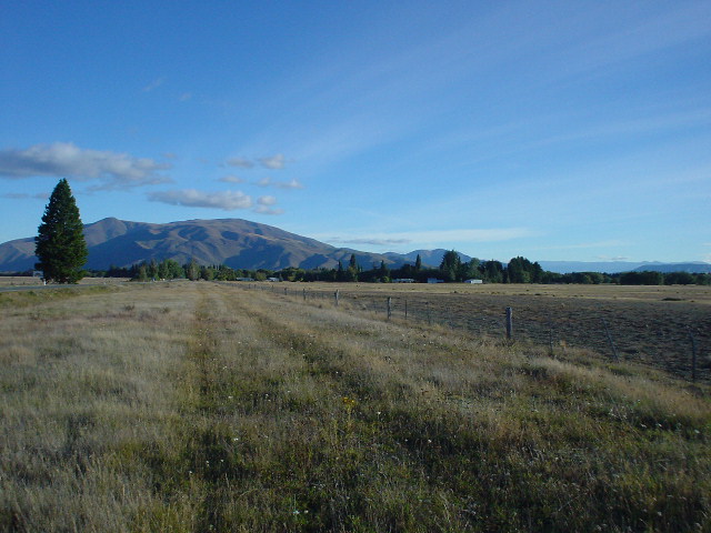
| After Lake Pukaki, the vast grass/tussock plains and mountains of the Canterbury district spread out in all directions. Much of the highway walking in this section could be done along unfenced grass lands bordering the highway |
|
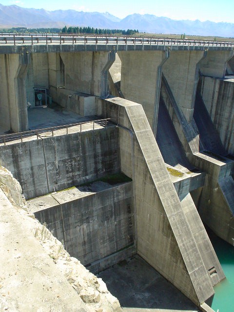
| Ruataniwha dam, one of many hydroelectric installations in this part of South Island built along the rivers draining the Southern Alps |
|
| The outlet stream of Ruataniwha dam |
|
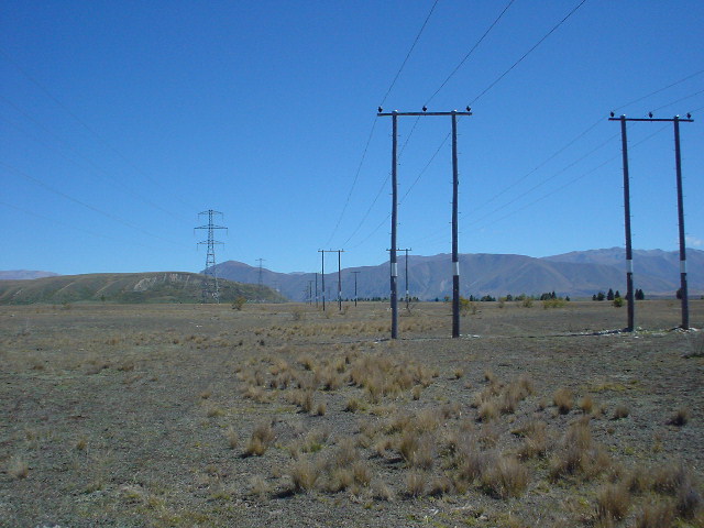
| And of course, along with hydroelectric installations come powerlines |
|
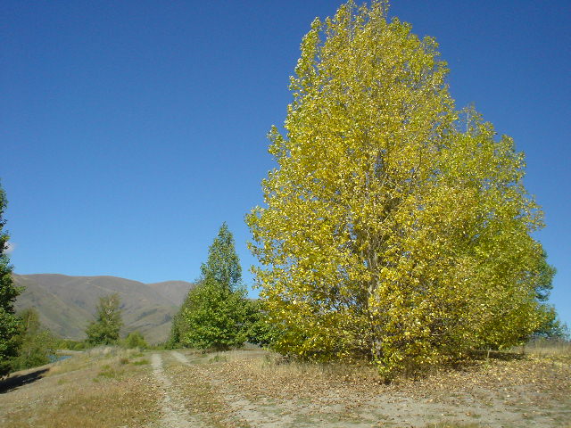
| Walking off-road near Lake Ruataniwha, one of the first signs of autumn appeared |
|
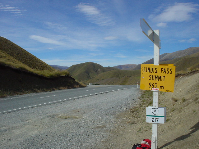
| The route takes the highway over Lindis Pass before heading down to Forest Range to the Grandview Track |
|
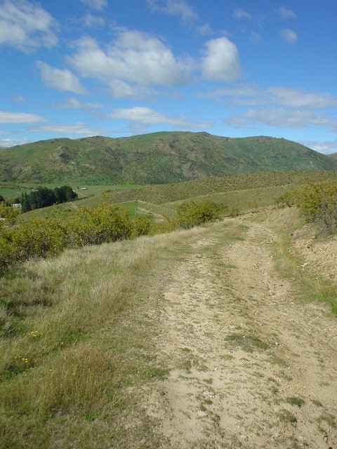
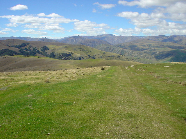
| The Grandview Track is a series of dirt roads (4WD tracks) leading across two private sheep stations through the Central Otago "high country" (permissions from both stations required). The views from the Grandview Track were quite spectacular in good weather...here at low elevation (500 meters) looking east back to the highway... |
|
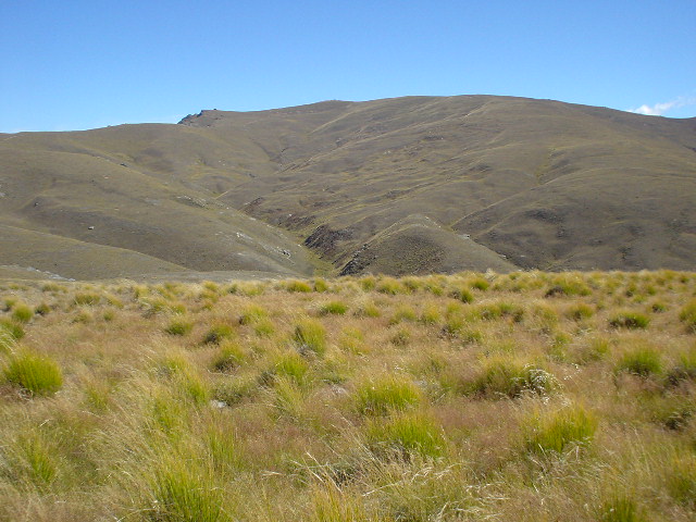
| ...here at higher elevation... |
|
| ...here nearing the top... |
|
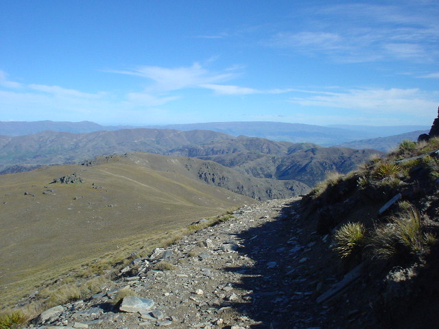
| ...and here near the high point (1400 meters elevation). In all, the Grandview Track climbs 1000 meters. |
|
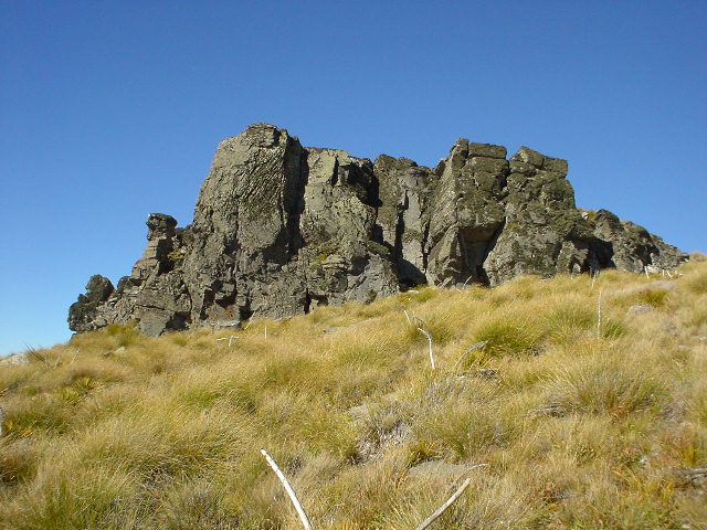
| The Otago high country hills are dotted with interesting rock formations at the higher elevations |
Page updated March 9, 2004