|
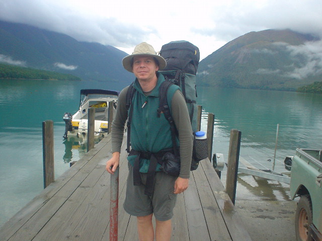
| Section J starts at St. Arnaud, following the Lakeside Track along Lake Rotoiti. The water taxi shown here ferries many trampers to the far end of the lake, saving 9 km, but I hiked this bit. |
|
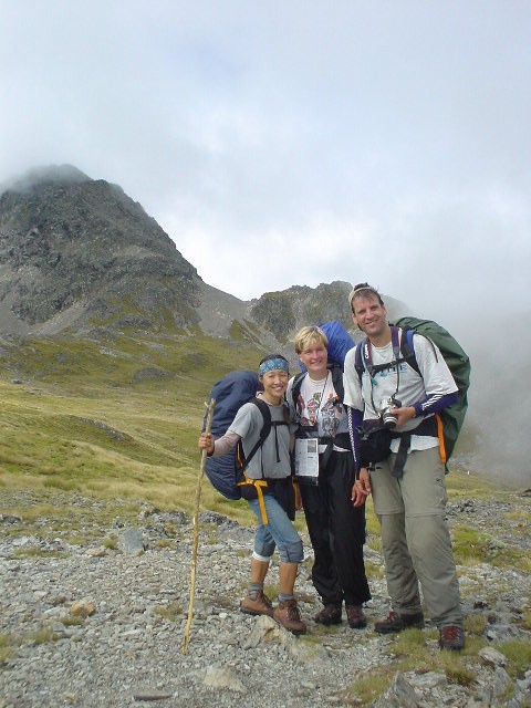
| Robbie and Stan, two of four hiking companions the first day. After taking the water taxi, they caught up to me midday, and I stayed with them the rest of the day up the Travers River valley to Upper Travers Hut. Thanks for a great day, guys. I couldn't have made it that far without you to follow! |
|
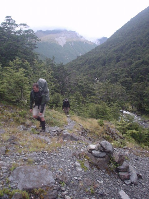
| The first day up the Travers River was mostly hiked in the cold rain. A Gortex parka and gaitors keep me warm enough on the vigourous ascent up the valley. |
|
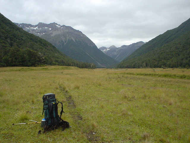
| Upper Travers Hut was reached just at dusk after a long first day, 27 km uphill in 12 hours on the track. |
|
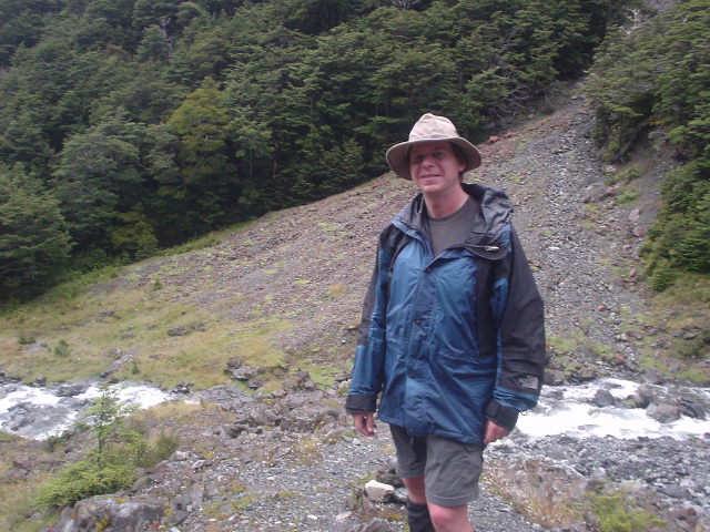
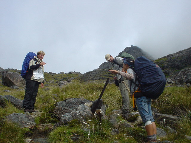
| On the day over Travers Saddle, my hiking companions were Jose and Jan from Holland, and Jin-Young from Korea. A great day! |
|
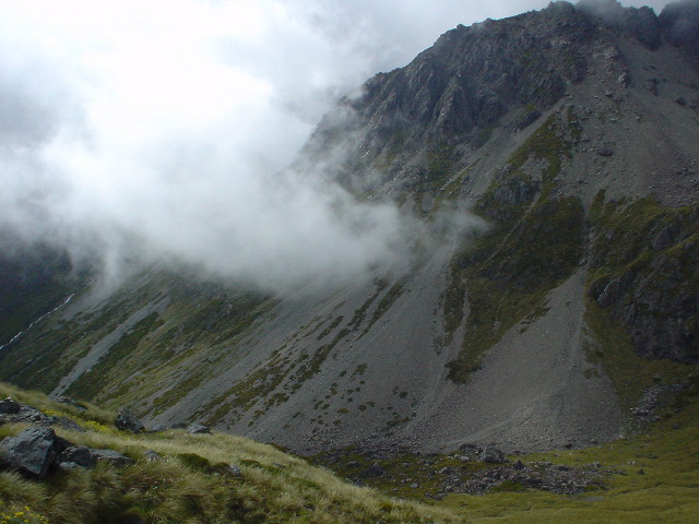
| The scenery faded into and out of the clouds... |
|
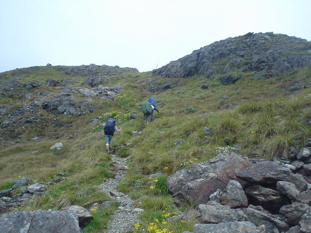
| ...as we ascended the steep tussock and rock track |
|
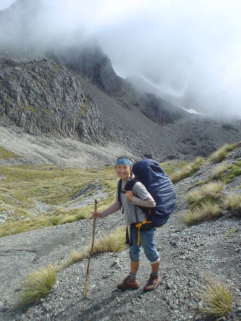
| Jin-Young is an energetic woman on a two-year journey around the world, including solo tramping in Nepal |
|
| Jose, Jan, and Jin-Young at the top of Travers Saddle |
|
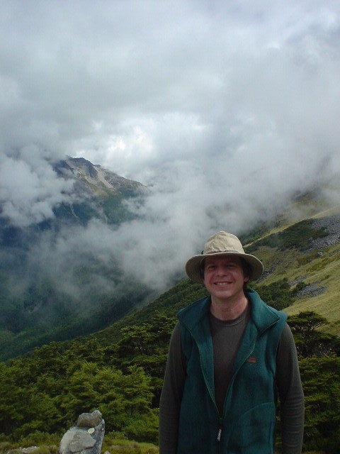
| ...and yours truly, also on Travers Saddle |
|
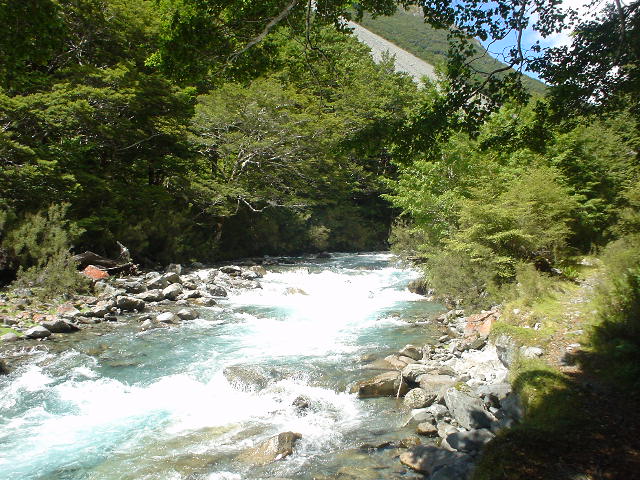
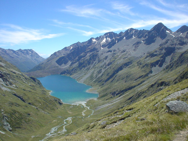
| The Sabine River, heading up to Blue Lake |
|
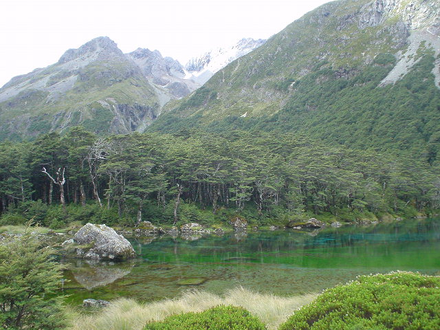
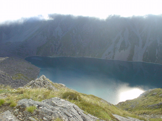
| Blue Lake and Mt. Franklin behind it |
|
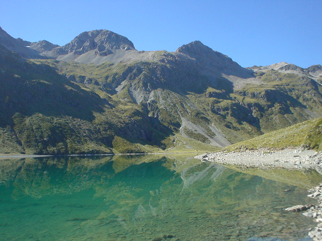
| Lake Constance, on the approach to Waiau Pass |
|
| The route skirts the shore of Lake Constance, after ascending far above the lake to get around high lake-side cliffs and then descending back down to lake level |
|
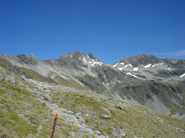
| Three specacular views, looking north, from near the top of Waiau Pass...#1, Lake Constance... |
|
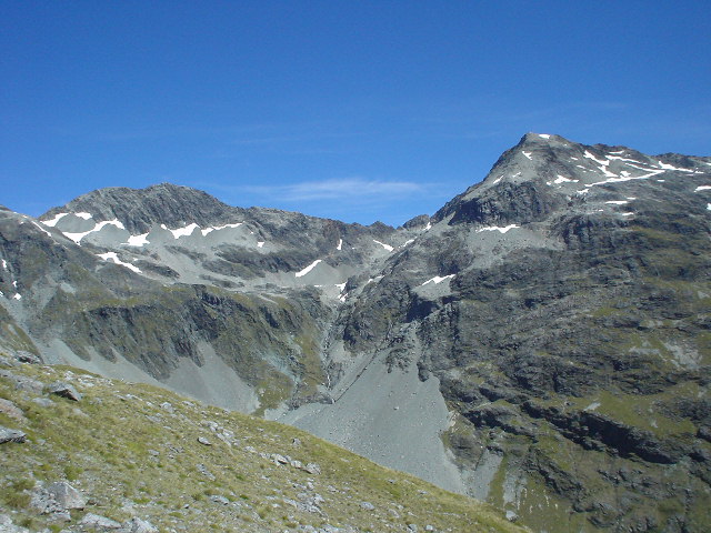
| ....#2, towards unnamed 2210-meter peak... |
|
| ....and #3, towards Mt. Mahanga, 2196 meters. Note the poles indicating the route. There wasn't an actual track around Lake Constance and then over and down Waiau Pass, just these poles and the indentations worn into the dirt and rock left by others who have gone before. |
|
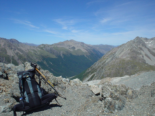
| Top of Waiau Pass, elevation 1870 meters, looking south. Was warm enough to stop and eat lunch, with a rock sheltering me from the northerly wind. Waiau Pass will most likely be the highest point reached on my trek. |
|
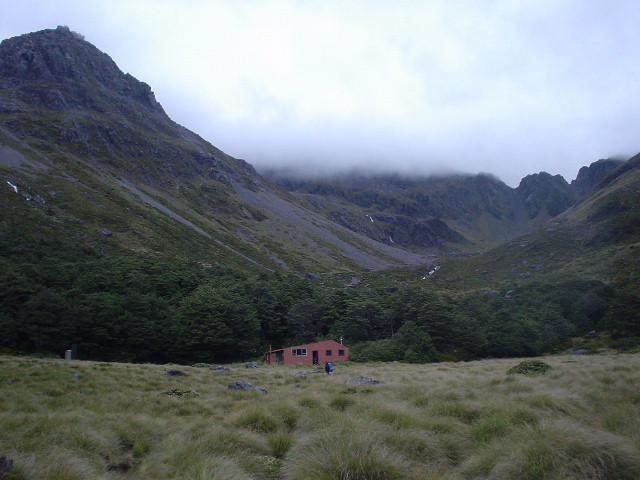
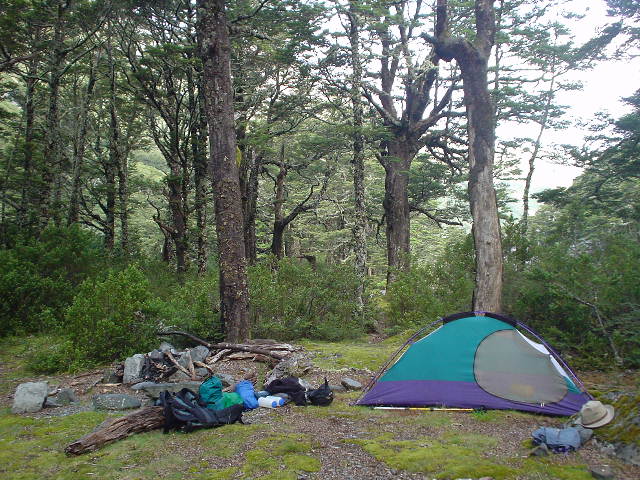
| Waiau Forks Camp. Made it up, over, and down from Waiau Pass! A relief, but mostly a sense of awe -- that somehow it was all possible without mishap. Time for a much-thought-about dinner of rehydrated lamb, peas, and mashed potatoes. |
|
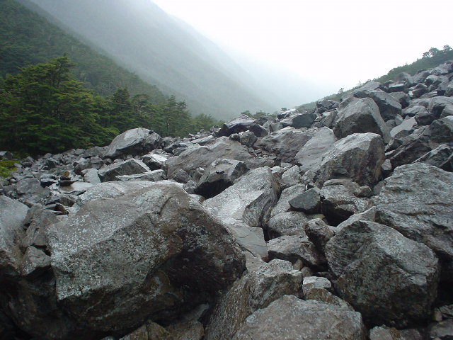
| Travel down the Waiau River valley after Waiau Pass was at first very rugged, with numerous boulder fields like this one which needed to be crossed without a trail--just a few rock cairns (human-built piles) marking points along the way--and in pouring rain which made the rocks very slippery. |
|
| View back northward to Waiau Pass, from the Waiau River valley near Caroline Hut. The valley was populated with herds of *steers*, which turned and ran away from me every time I approached with my new-found confidence and bravado (learning from the Section G incident). |
|
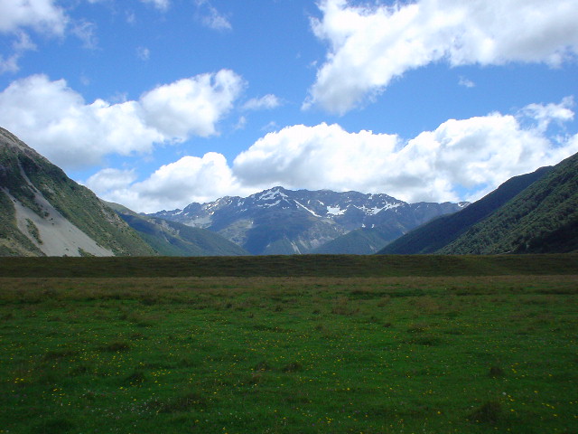
| View up the Ada River valley from Ada Flat at the confluence of the Ada and Waiau Rivers: flat cattle grasslands surrounded by high rugged mountains make for classic South Island NZ terrain--beautiful! I hardly even noticed all the cow patties on the ground. From here I joined the St. James Walkway, one of NZ's "great walks." |
|
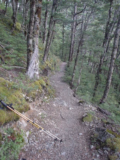
| At last! An easy track to walk, through the beech forest for the last 15 km of the St. James Walkway, after uneven valley travel through cattle pasture and a track that often seemed more like an undeveloped "route" than a "walkway"! |
|
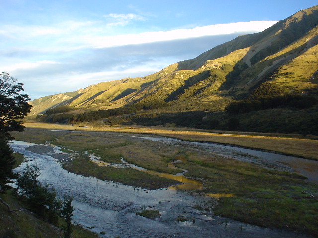
| View at sunset from my campsite overlooking the beautiful Boyle River valley, on the last day before reaching Boyle Village at Lewis Pass and the end of the St. James Walkway. The next morning, gale-force winds down the valley, followed later by pouring rain, made for a hasty departure! |
Page updated February 12, 2004