
|
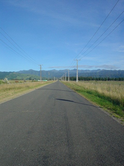
| Tararua Road heads straight from Levin to the Ohau roadend (trailhead), leading into the Tararua mountain range |
|
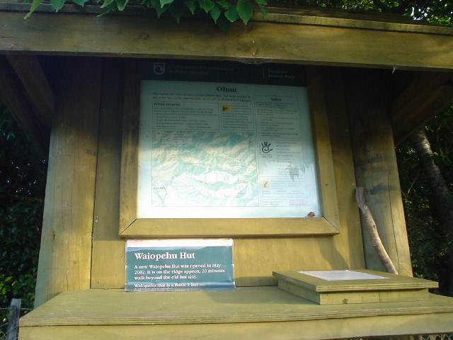
| The Ohau roadend has an "intentions" book for trampers to note their intended route and return date |
|
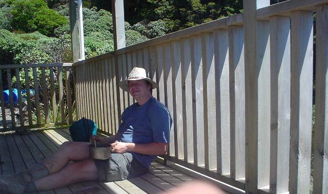
| Tramping through the Tararua mountain range from Levin was a real social experience after my quite-solitary tramping in previous sections; there were so many people around that I got lots of photos of myself! Here, lunch on the porch of Waiopehu Hut.... |
|
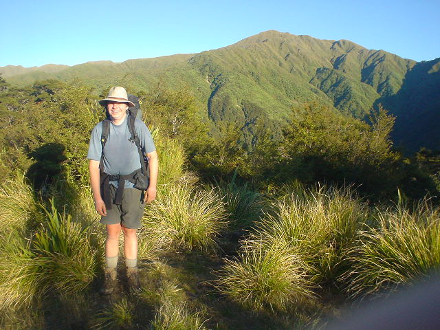
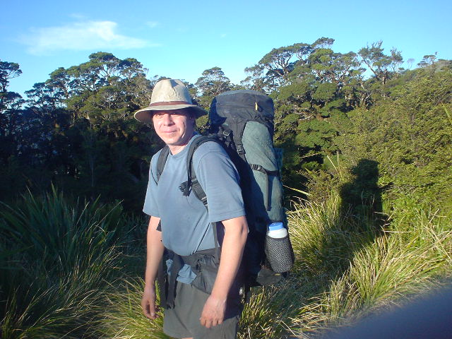
| ...here, arriving at Te Matawai Hut for the evening, at elevation 900 meters, with Pukematawai Peak on the main Tararua range in the background... |
|
| ...same place, side view!... |
|
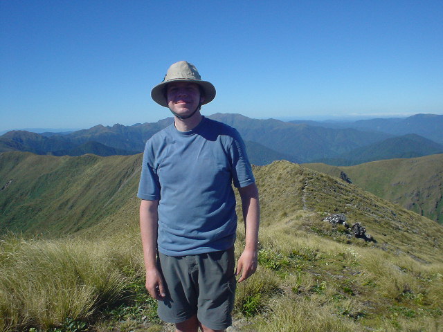
| ...here, on the top of Mt. Crawford, elevation 1462 meters, with the main Tararua range looking south in the background. |
|
| Now for some scenery shots, taken in rare (for the Tararuas) sunny weather...main range from Twin Peak, elevation 1097 meters, just past Waiopehu Hut... |
|
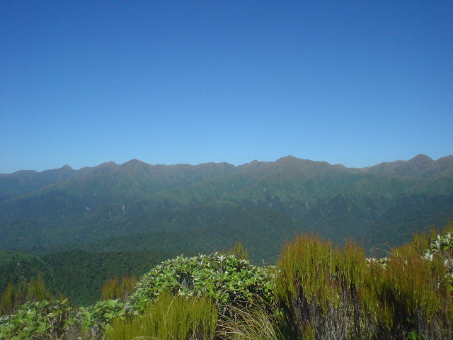
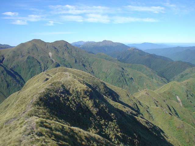
| ...looking west from Pukematawai Peak, elevation 1432 meters... |
|
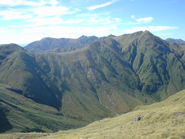
| ...looking east from Pukematawai... |
|
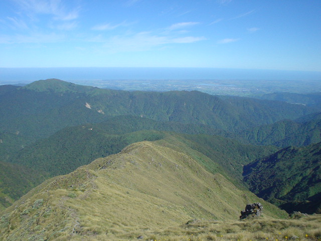
| ...looking south from Pukematawai. |
|
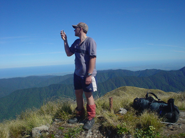
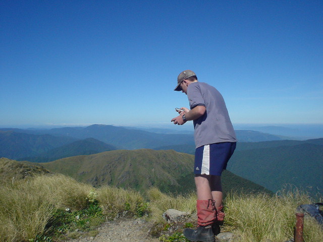
| Many wonderful people were met along the way through the Tararuas and some were enjoyable hiking companions for awhile. Here, Tom tries to get cell phone reception on the top of Mt. Crawford, elevation 1462 meters, to arrange a ride out. Thanks, Tom, for the companionship hiking along the tops! |
|
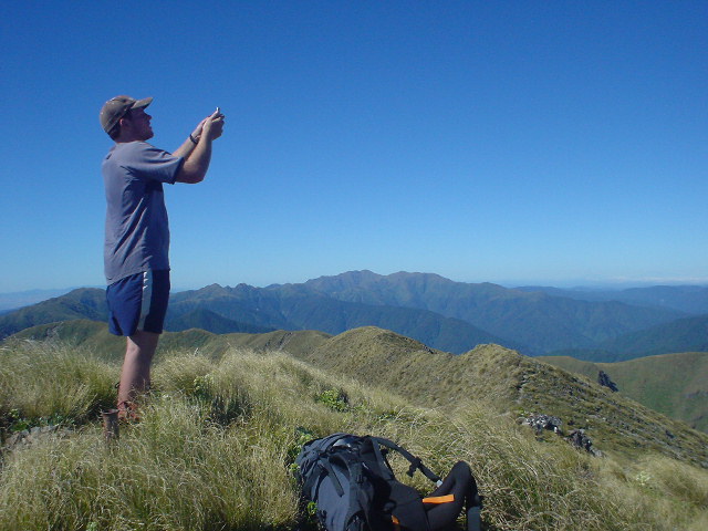
| Please, cell phone gods, grant me a signal (view south to main Tararua Peaks) |
|
| Finally, a signal! One minute was enough: "Hi. Pick me up at 3pm" |
|
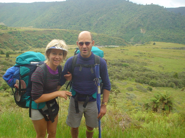
| Kevin and Viki on the way into Otaki Forks, overlooking the broad Waitatapia Stream valley. We negotiated the tricky walk from Waitewaewae Hut together. |
|
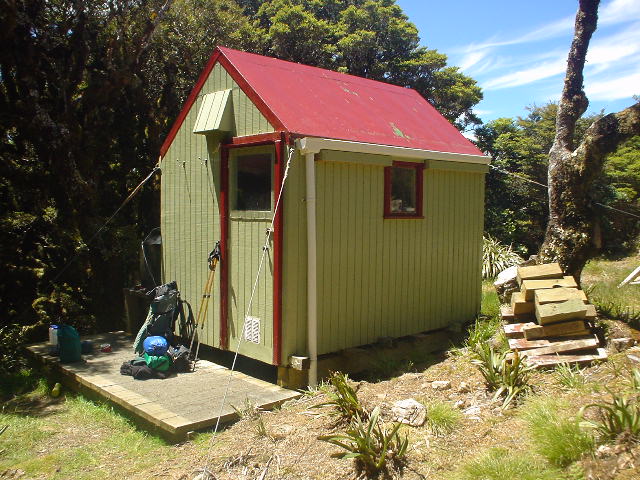
| Other shots of interest...tiny Dracophyllum Hut (sleeps 2) on the main Tararua range, elevation 1100 meters. Note the guy wires on each corner to prevent the Hut from blowing away in the high winds the range receives, even in forested parts like this. |
|
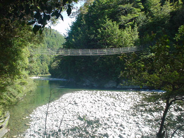
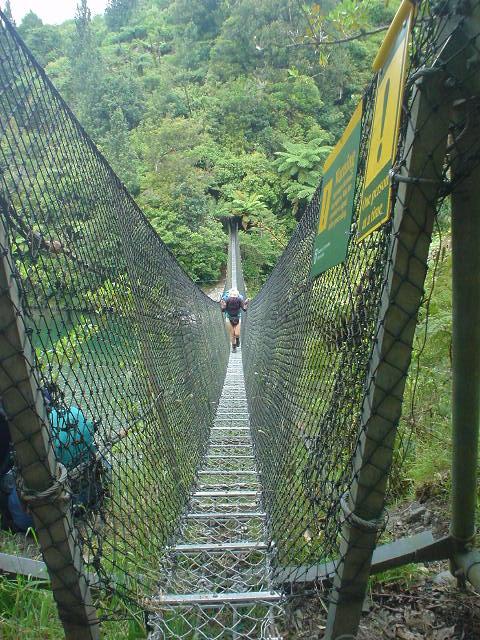
| A typical "swingbridge" made of four steel cables underfoot, one steel cable chest-high on each side, and wire fencing mesh on bottom and sides. This bridge crosses the Otaki River near Waitewaiwai Hut. |
|
| This bridge re-crosses the Otaki River at Otaki Forks |
|
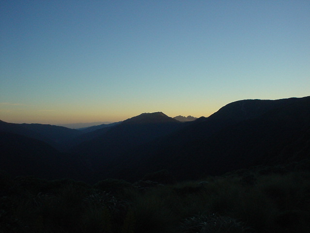
| Sunset over Tararua Peaks, looking south to Wellington from exposed Nichols Hut, elevation 1150 meters |
|
| Sorry, there are no pictures of the classic 32-km Tararua "southern crossing" route from Otaki Forks to Kaitoke, with 2100 meters (6900 feet) of vertical ascent over its length. I decided to travel ultra-light and fast on this two-day section, carrying only the most essential gear. The scenery was quite similar to the previous Tararua photos above. |
|
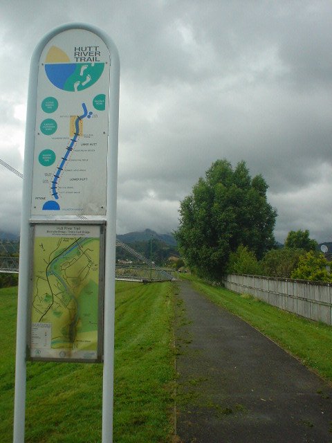
| Upon leaving Tararua Forest Park at Kaitoke, a 10-km highway walk leads to the start of the Hutt River Track, which leads 25-km down the Hut River towards Wellington |
|
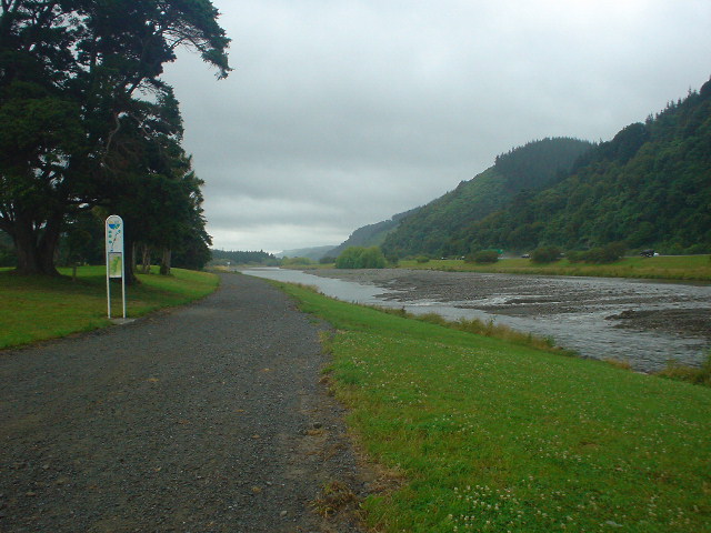
| The Hut River Track closely follows the river, with the highway on the opposite side... |
|
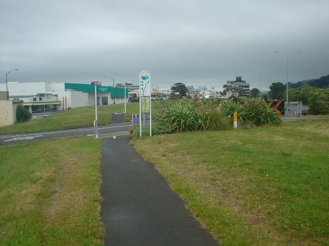
| ....eventually reaching the urban landscape of Lower Hutt City on the shore of Wellington Harbor. |
|
| The Hut River flows into Wellington Harbor here, with Wellington visible across the harbor |
|
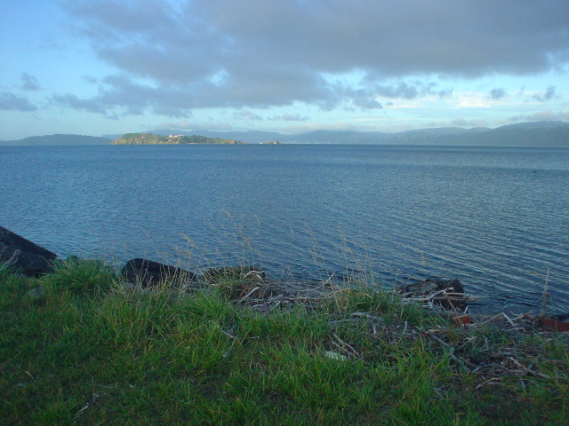
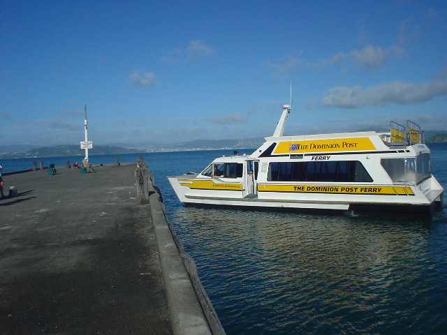
| Only a motorway and rail line pass around the steep bush hillsides bordering the north side of the harbor, so pedestrians are out of luck. The Dominion Post ferry takes a tramper across the harbor from Days Bay, a 7-km walk south of Lower Hutt along the scenic harbor shoreline. |
|
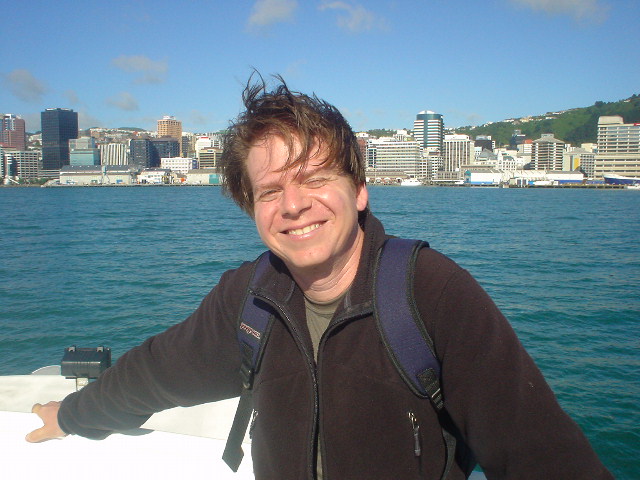
| A happy tramper approaches Wellington on the ferry. The end of the North Island half of the trek! |
Page updated January 12, 2004