
|
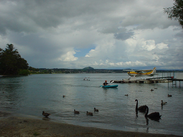
| The origin of the Waikato River at Lake Taupo. The 425-km long Waikato is the longest river in New Zealand. Farther downstream, the Waikato River Valley is considered the most productive farmland in the world. The Te Araroa route south of Auckland follows the Waikato River, but my route only touches the Waikato here. |
|
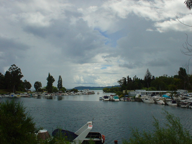
| Lake Taupo, the largest lake in New Zealand, with a maximum depth of 190 meters (540 feet). The lake fills in a Caldera volcano, which has erupted 28 times in the past 27,000 years, the most recent and violent in 181 AD. |
|
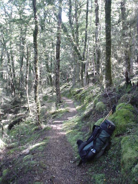
| Many tracks through the Kaweka Forest Park wind through a delightful beech forest and are mostly flat with soft dirt-and-leaves underfoot, even as they go steeply up or down. They reminded me of trails I'm used to in the U.S. and were a real joy after the dense rugged bush tracks of earlier sections. |
|
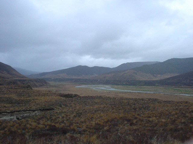
| View across the Oamaru River Valley from the porch of Oamaru Hut |
|
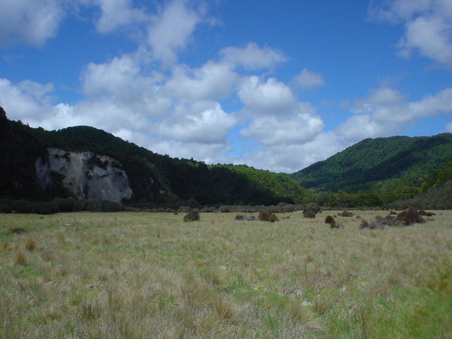
| Hiking up the broad Oamaru River Valley along a "poled route." A track from the footsteps of many hikers is generally easy to follow. |
|
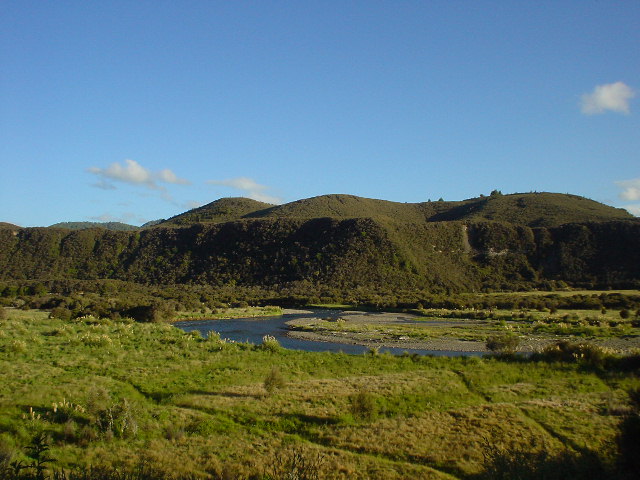
| The broad tussock valley of the upper Ngaruroro River. I had to cross the river twice near here, once up to my waist and once to my thighs. |
|
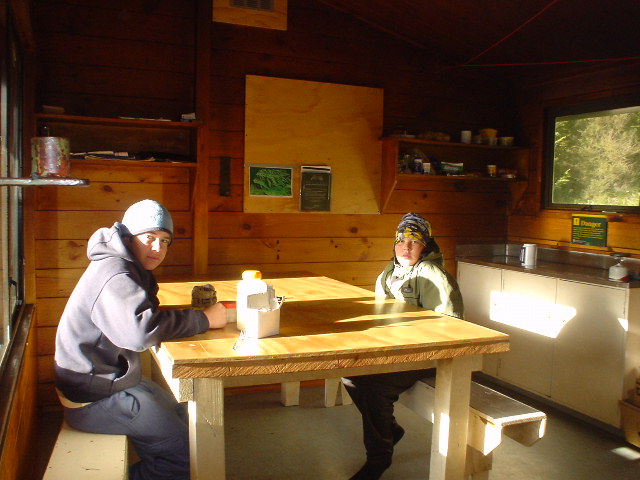
| The common room of Boyd Hut features running water from rain-fed tanks and a wood stove. |
|
| Mike and Ryan and their father were out tramping for five days and I enjoyed sharing an evening with them at Boyd Hut. In days before it had rained and their route had required the boys to swim across the mighty Kaipo River while their father shuttled backpacks with water to his chest--very impressive for all of them. |
|
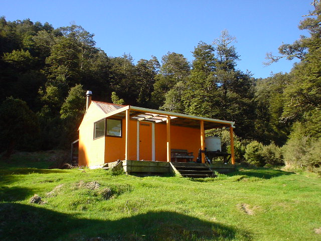
| Harkness Hut. The distinctive orange color, 6 bunks, wood stove, rain-fed water tank, out-house, and wall-mounted candles were typical of Kaweka Huts and offered all the comforts of home, along with a sunny afternoon porch to dry soaked boots and socks from the day's literally dozens of stream crossings and re-crossings along the Harkness Valley. |
|
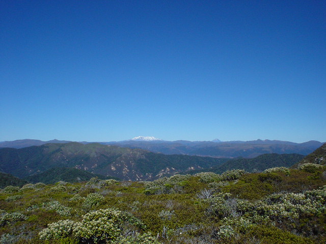
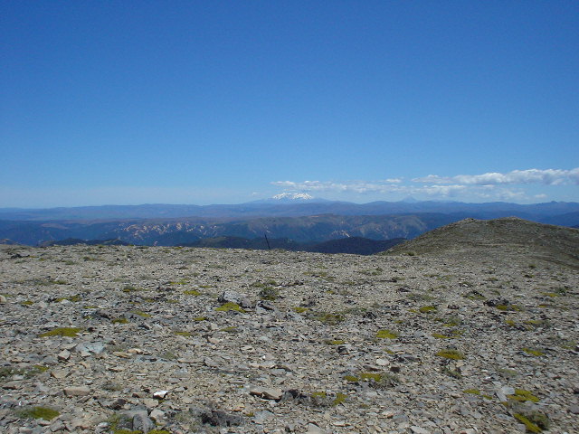
| An open tussock ridge (elevation 1500 meters) near Te Puke hut offers a view of snow-covered Mt. Ruapehu (left) and Mt. Ngauruhoe (right) in the far distance |
|
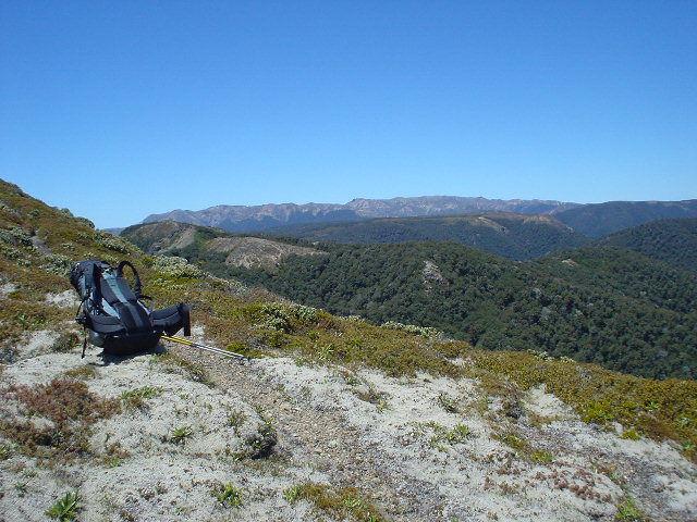
| Looking south to the main Kaweka range in the far distance, where I will be the next day, from a track along the open tussock. |
|
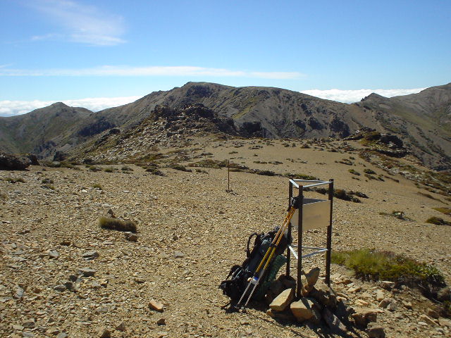
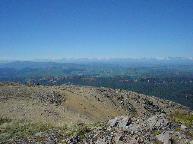
| Track junction to Ballard Hut as I approach the top of the main Kaweka range (in background). Above the 1400-meter timberline, track is over rock and scree and soft "clay pans" and is marked by poles. |
|
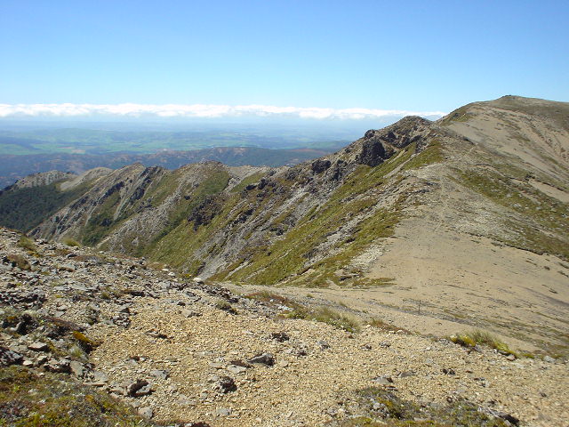
| Walking south along the main Kaweka range. The track repeatedly climbs and drops hundreds of meters of elevation over minor peaks as it traverses the "tops" for several hours. |
|
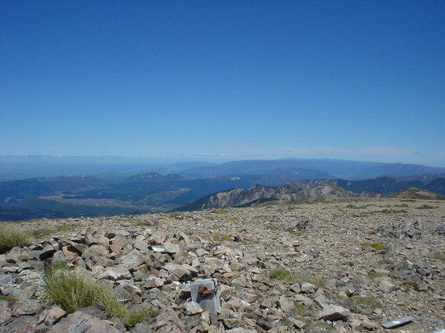
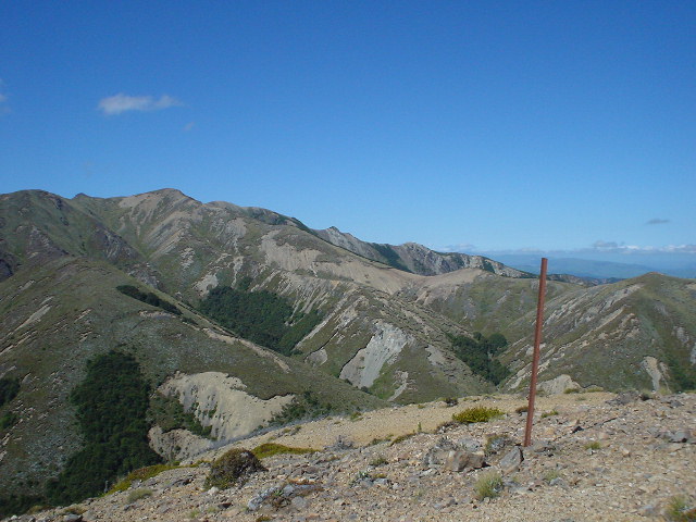
| View south from the top of peak "Kaweka J", elevation 1724 meters (4900 feet). This is the highest point in Kaweka Forest Park and also of my North Island route. |
|
| View from Kaweka J facing west |
|
| View from Kaweka J facing north |
|
| View from Kaweka J facing east. |
|
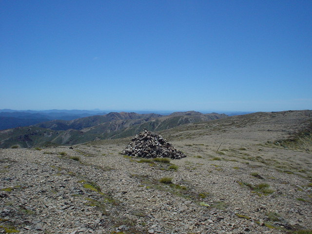
| The southern end of the main Kaweka range, including Studholme Saddle. I had traversed along the ridgetop shown, from left to right, and was heading down along another ridgetop to Kiwi Saddle Hut. |
|
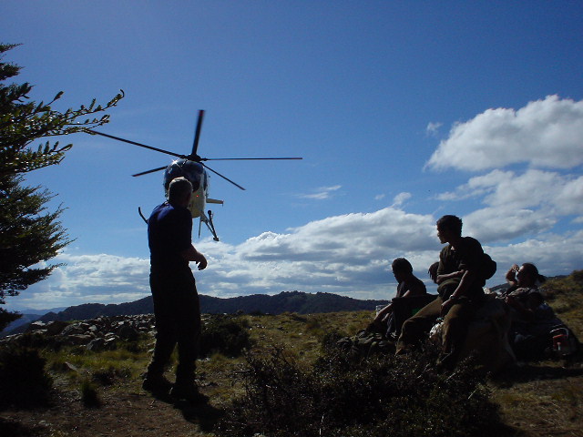
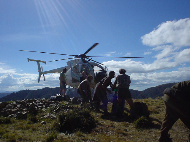
| Helicopter landing near Castle Camp to take a forest work crew home. The work crew had been cutting down "wild" Radiata Pine trees in the area, which the Department of Conservation considers a "predatory species" because the pine, while excellent for forest plantations, pushes out other native species at high elevations and disrupts ecosystems. |
|
| Helicopter pads are common to most hut locations in the Kawekas, used by trampers and hunters who can afford the expense of a helicopter taxi, by search and rescue teams, by forest work crews, and for hut servicing. |
Page updated December 22, 2003