|
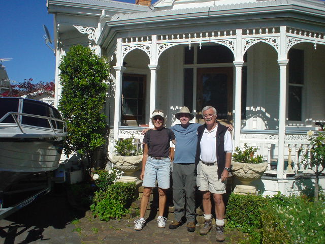
| Julie, Eric, and John set out together at the start of Section E |
|
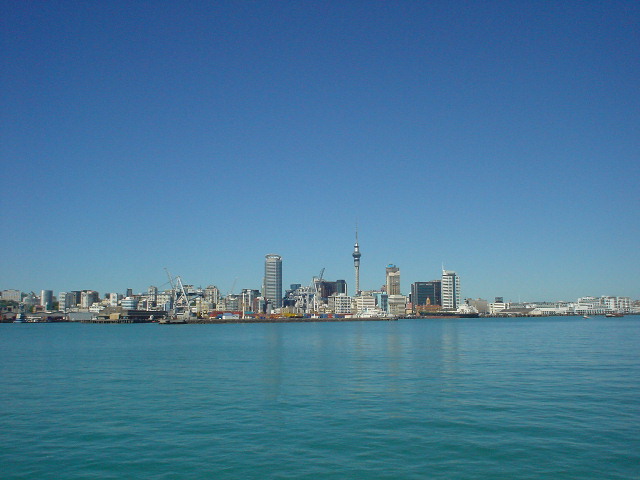
| View of Auckland skyline from the Devonport ferry crossing |
|
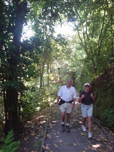
| John and Julie on a wooded, secluded section of the Coast-to-Coast walk through the Auckland Domain, a large park in central Auckland. The Coast-to-Coast walk is so named because it runs from the Pacific Ocean on the north/west side of the central city, to the Tasman Sea on the south/east side--representing the entire land width of the country at that point. |
|
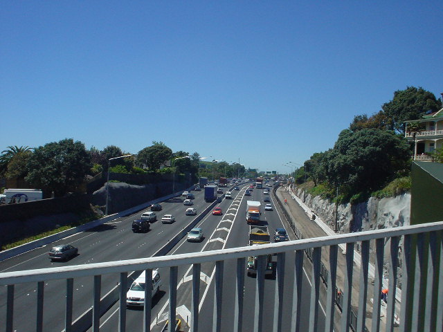
| My route crosses a motorway only once in 2700 km -- in Auckland |
|
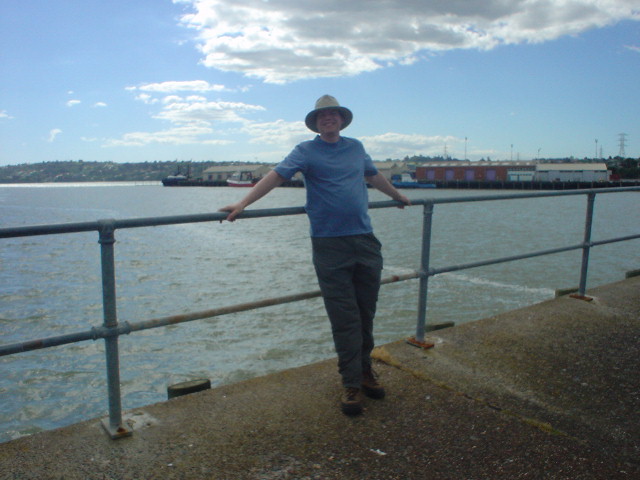
| Eric at the end of the Coast-to-Coast walk near Mangere Bridge, latitude S 36deg, 56', 33" |
|
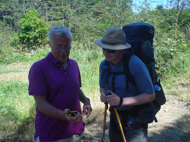
| Eric and John confer with a GPS near Coroglen to confirm the proper latitude (same as Mangere Bridge in Auckland) to resume the trek on the Coromandel Peninsula. |
|
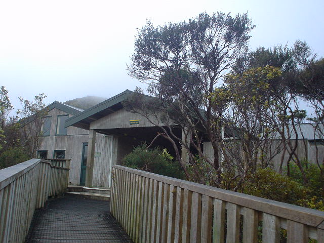
| Pinnacles Hut, New Zealand's largest and most developed hut, with 80 bunks, running water, gas stoves in the kitchen, and a live-in warden. There were 10 people there the weekday night I stayed, but the following Saturday was fully booked. |
|
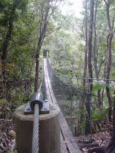
| A swingbridge on the Webb Creek Track from Pinnacles Hut down into Kauaeranga Valley. The track is my first of "walking shoe" standard, meaning wide flat dirt tread, carefully cut steps, or a track literally paved with stones. |
|
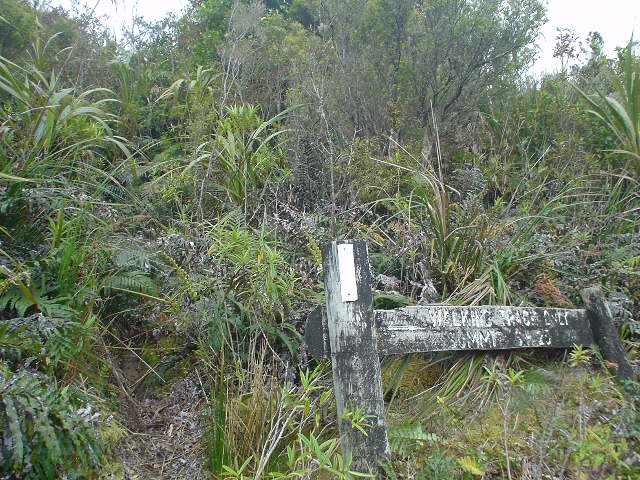
| An old track from Neavesville Road to Highway 26A summit. This 4-km track appears on 1982 track guides, but is absent from current topo maps and other track guides. It is nevertheless a critical north-south link across the Coromandel range. The tread and white rectangular trail markers still exist, however the "2 hours" route time posted on this old sign has now become 5 hours because of the overgrowth. |
|
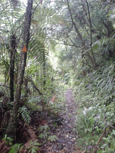
| The delightful Golden Cross Track was one of my first encounters with a track of similar standard to much of the Pacific Crest Trail |
|
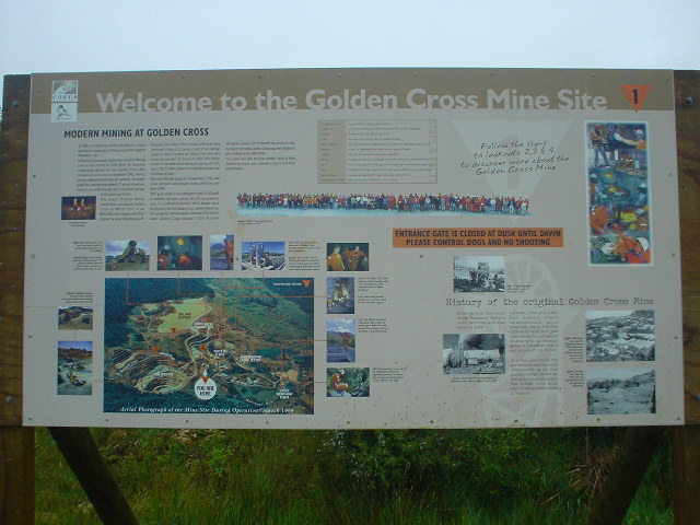
| Golden Cross gold mine closed in 1998 after producing 23 tons of gold (worth $250 million) over its 100-year life. The Golden Cross Track ends at the mine site, where wooden tour posts guide visitors around the site. (Photo taken and facts recorded in pouring rain, proving the special all-weather capabilities of both camera and pad/pen.) |
|
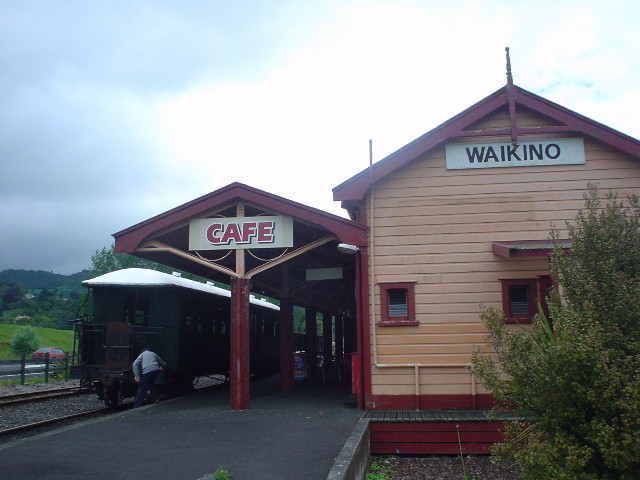
| The train station at Waikino still operates a tourist train from Waihi. The train originally carried gold mining supplies through the Karangahake Gorge from Paeroa to Waihi and operated for over 70 years before closing in 1978. |
|
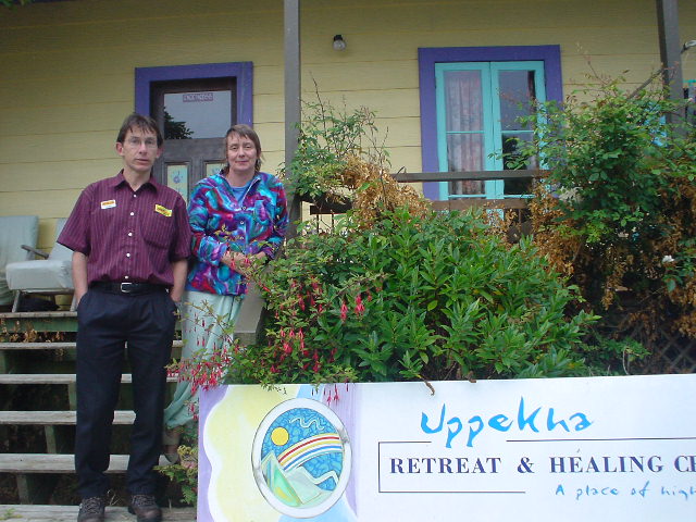
| Jane and Kevin Kinghan, gracious hosts for my stay in Waikino. They run a retreat and healing arts center (www.uppekha.co.nz), as well as a homestay. |
|
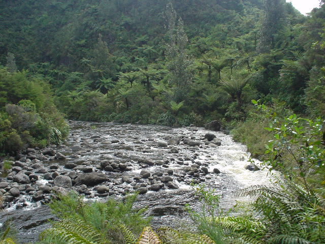
| The Whatawheta Tramway Track from near Waikino crosses and re-crosses the Whatawheta River (pictured here) six times on its way to the Whatawheta Hut. There are no bridges on the track, just the concrete remains of bridge abutments for the ancient tramway. After a few days of light rain, the river was crossable with care, with mostly shin-deep or knee-deep steps through the water, if the right crossing points were selected. |
|
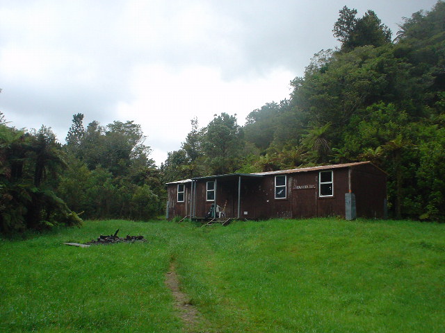
| Whatawheta Hut, with bunks for 16, in the Kaimai Mamaku Forest Park. My "Annual Hut Pass" entitles me to stay at all huts like this without paying per-night fees (per-night "hut tickets" are collected on an honor system in drop-boxes in the huts). |
|
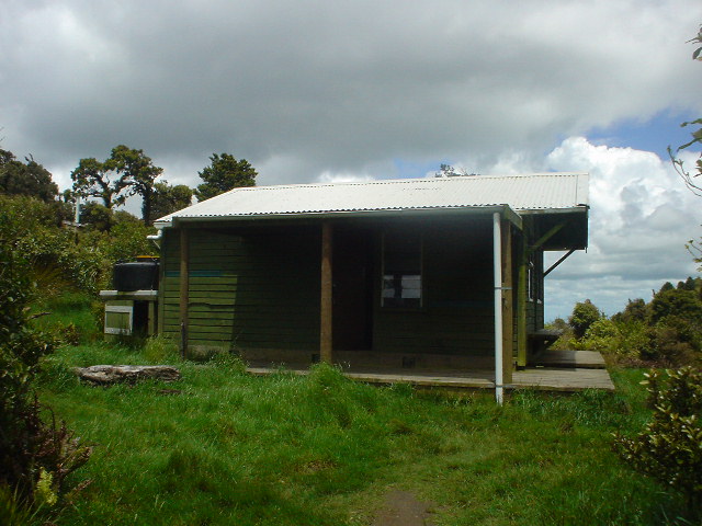
| Te Rereatukahia Hut, elevation 620 meters (2000 feet), near the crest of the Kaimai Range |
|
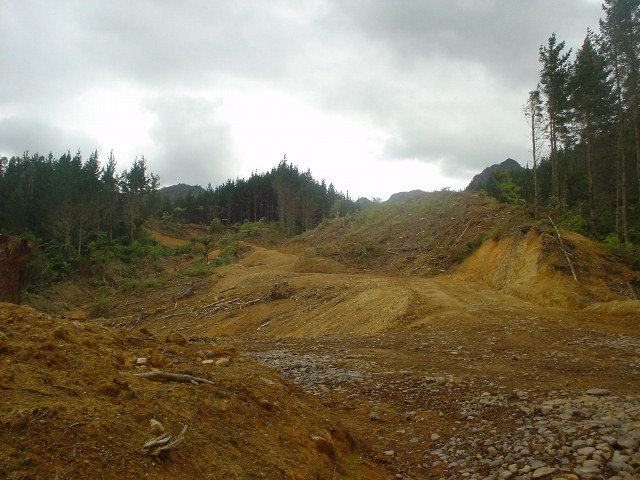
| The Tuahu Track descends from the Kaimai crest into an active loggiing zone, and exits into this scene.... |
|
| ...from which I finally found the road (view looking up at the Kaimai crest from where the Tuahu Track descended). The white street sign says "Tuahu Track" and the red sign on the closed gate says that public access is temporarily closed to due to logging operations. |
|
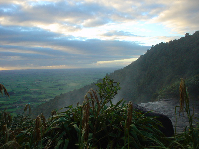
| View of the Waikato region from the top of Wairere Falls in Kaimai Mamaku Forest Park |
|
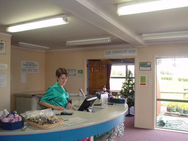
| Hostess Pauline and the entrance to the Blueberry Cafe at the Mamaku Blue Winery in Mamaku, where a worn-out and thirsty tramper, near the end of Section E, was revived with blueberry juice, blueberry sorbet, blueberry chutney with lunch, and blueberry pie. Pauline has done some difficult tramping herself and well understood the tramper's unique brand of exhaustion. |
|
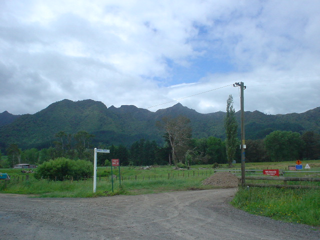
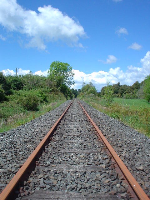
| "Call it Eric's Track" suggested a Rotorua local when queried about whether one could walk the 20-km from Mamaku to Rotorua along the recently abandoned rail line. Indeed, one can do so on this "track." |
|
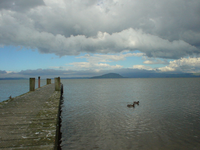
| Lake Rotorua from Ngongotaha, just north of Rotorua city. The area is known for geothermal activity and hot springs, and recent geothermal activity under the lake is causing the lake bed to heat up more than expected. |
Page updated December 6, 2003