
|
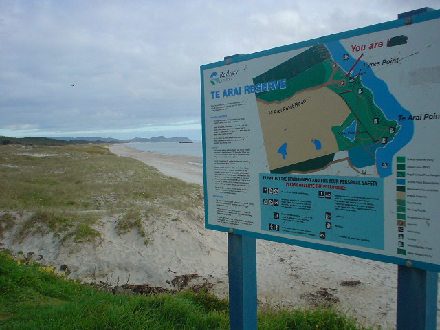
| Coastal Te Arai Reserve, a prominent bluff, separates into two halves the 25km of beach leading south to Pakiri |
|
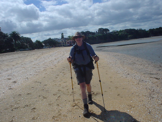
| Pakiri Beach looking south from top of Te Arai |
|
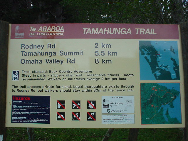
| The Tamahunga Track was one of the first to be inaugurated as part of the Te Araroa national route, by none other than Sir Edmund Hillary, the famous Everest mountaineer |
|
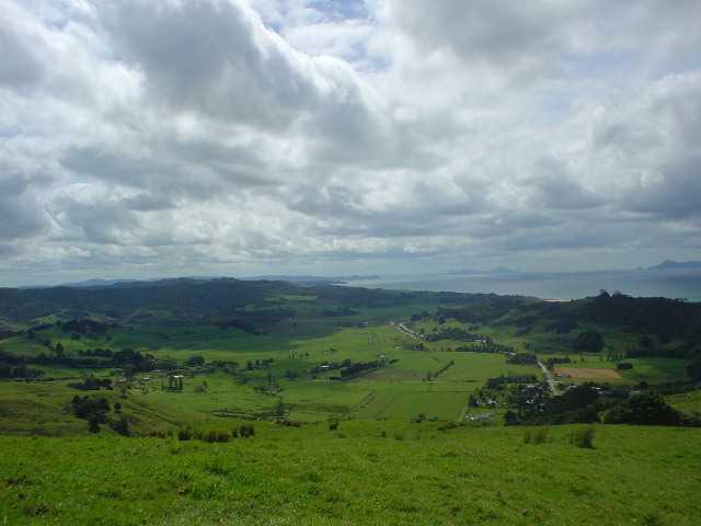
| View of Pakiri settlement and beach from Tamahunga Track; the Track climbs straight up the ridge line on farmland, in an ascent of 350 meters vertical in 1800 meters horizontal. |
|
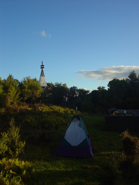
| Camped out on Tamahunga Peak (437 meters elevation); a "trig" navigational marker is visible |
|
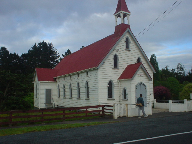
| The Church of Saints Peter and Paul in the small historic town of Puhoi was built in 1881 after Bohemians, drawn to New Zealand by offers of land grants, settled Puhoi in the 1860s |
|
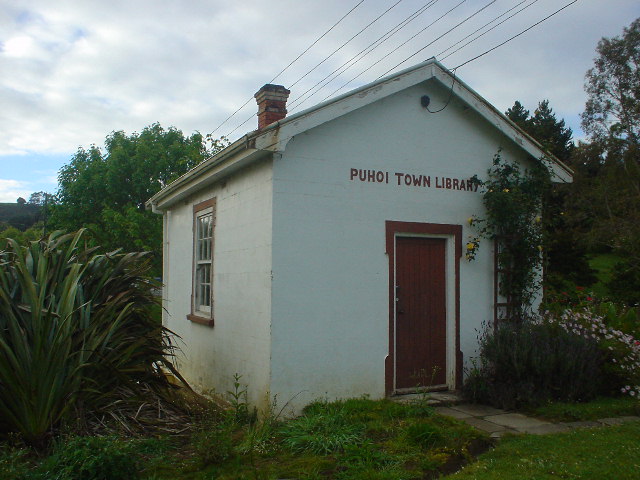
| Public library in Puhoi, about the size of a typical living room |
|
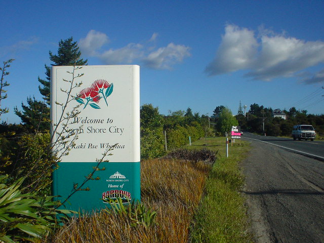
| After a long day of walking fast roads with heavy traffic and sloping gravel shoulders, I finally arrive at North Shore City, the northern extension of Auckland. Suburban sidewalks from here on provide a welcome change from road shoulders. |
|
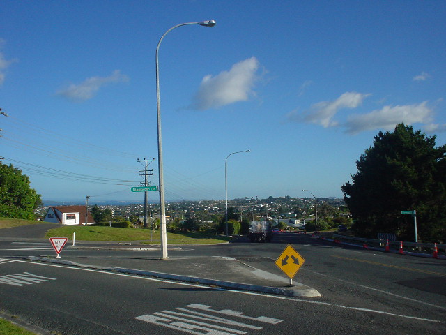
| First view of Auckland from East Coast Road; part of the view but not visible in the picture is Auckland's prominent Sky Tower. |
|
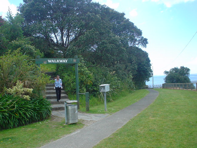
| The East Coast Bays Walkway is a continuous pathway and beach walk along 15 km of shoreline leading into Auckland, and a delightful way to enter the city on foot. Great to be among fellow pedestrians again! |
|
| No question here about finding the Walkway |
|
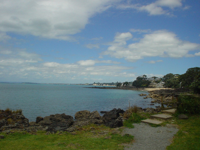
| Far view of Devonport coastline, my final destination for Section D |
|
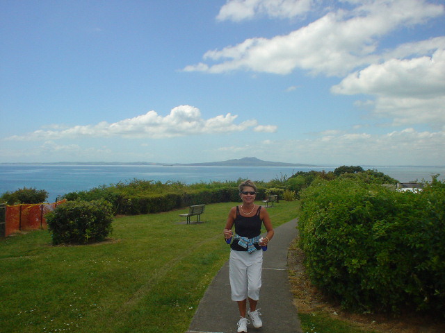
| Arriving on Cheltenham Beach in Devonport, Auckland City, a tired but happy tramper looks forward to some time off |
|
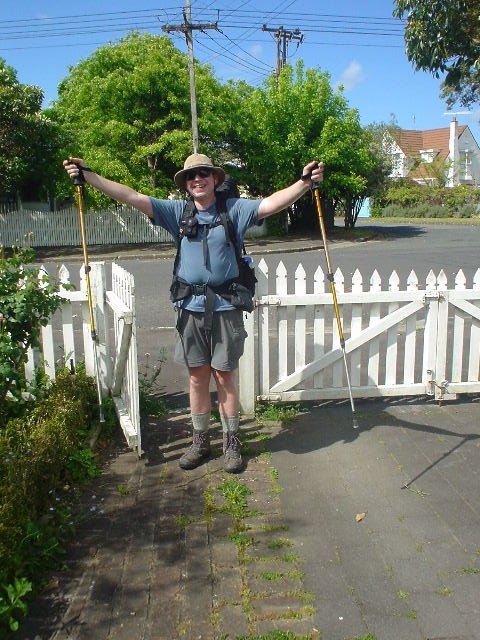
| Just one quiet block from Cheltenham Beach is the home of friends John and Julie, where I'll stay, and Section D ends at their front gate |
Page updated November 10, 2003