
|
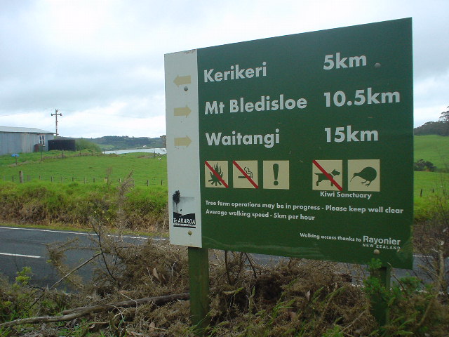
| Start of the Kerikeri-to-Paihia route through the Waitangi Forest |
|
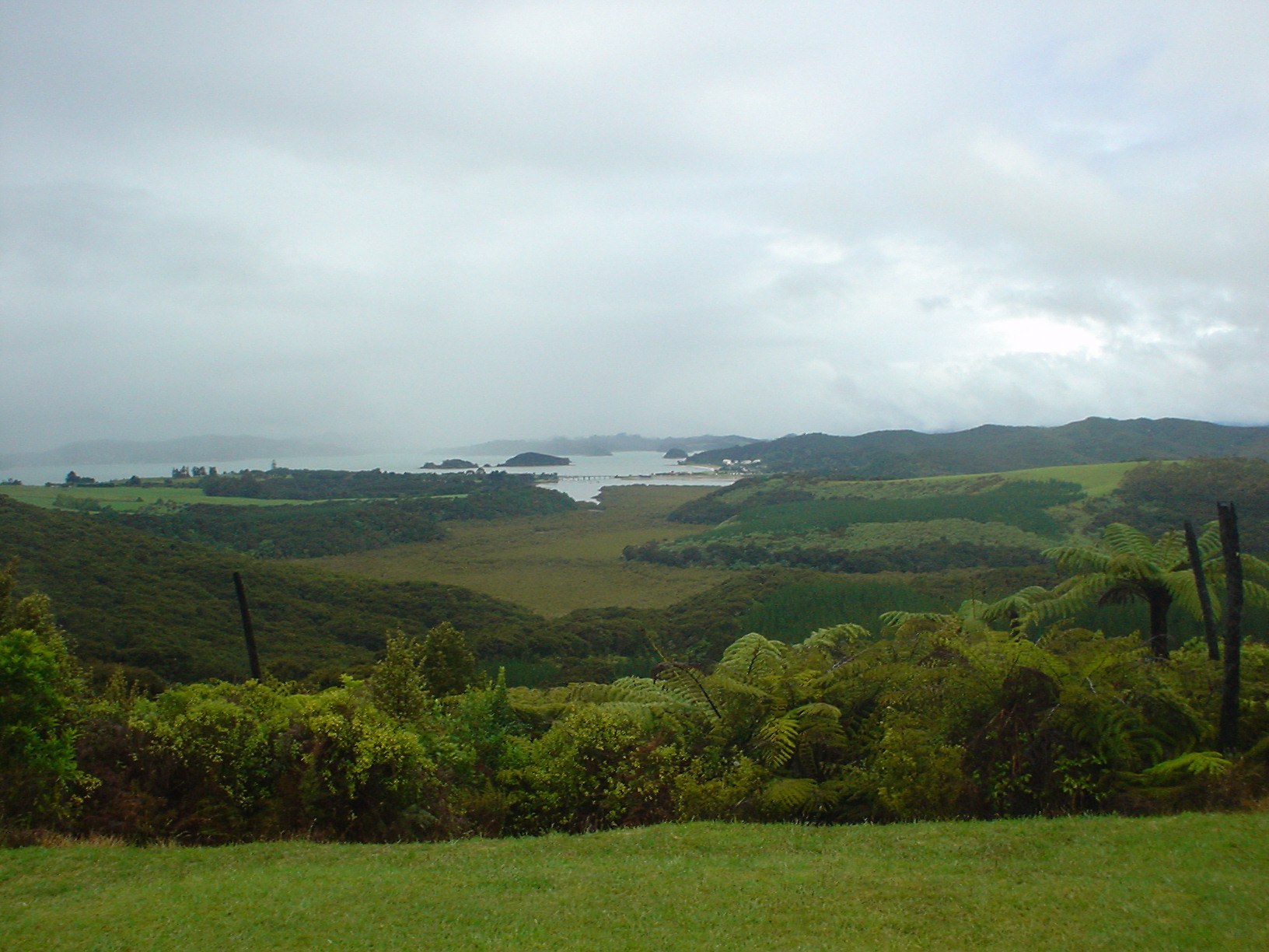
| View of Paihia and the surrounding Bay of Islands from a peak in Waitangi Forest |
|
| The Waitangi Treaty House, where the treaty of Waitangi, between Maori chiefs and Britain in 1840, gave Britain sovereignty over New Zealand. The treaty also gave the Maori British citizenship and ownership to their lands and forests (which in practice has been the most controversial part of the treaty to implement). The site is directly on the Te Araroa route. |
|
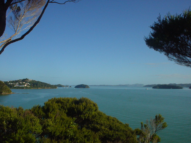
| Views of the Bay of Islands from the Paihia-to-Opua Coastal Walkway |
|
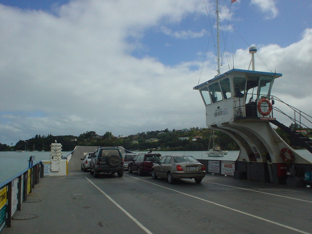
| Crossing the 1-km wide Veronica Channel from Opua on a small auto-ferry |
|
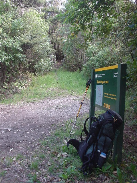
| Start of the Russell Forest Track |
|
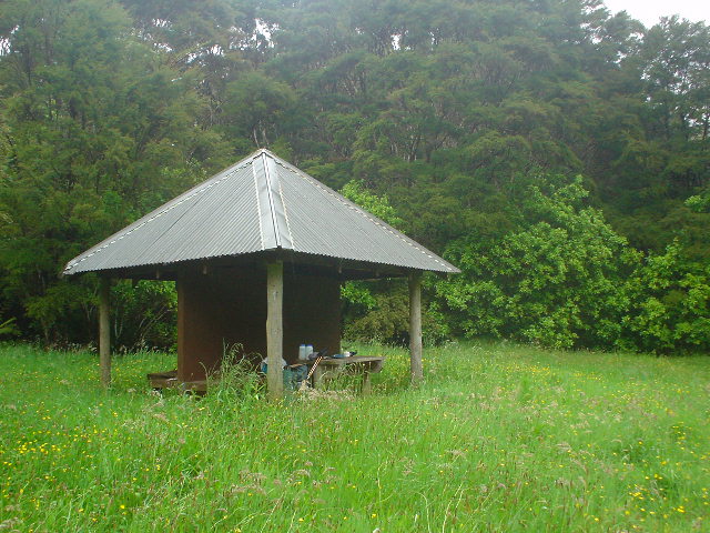
| The Russell Forest shelter, at Papakauri Stream, surrounded by a meadow dotted with yellow flowers |
|
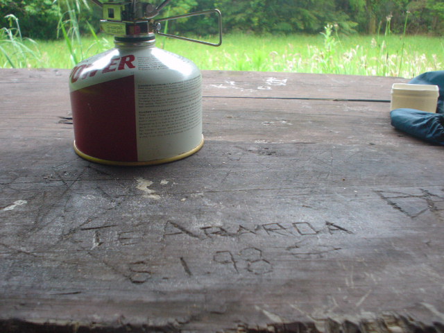
| Te Araroa 8.1.98 carved on the Russell Shelter table. I am not the first Te Araroa tramper to pass this way! |
|
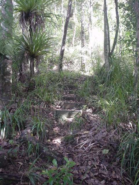
| Steps (!!) on the Russell Forest Track |
|
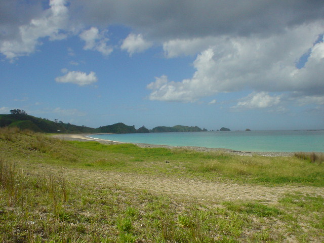
| View of Okupe Beach at the Mimiwhangata Reserve. |
|
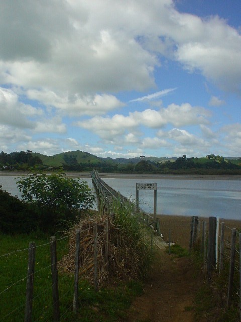
| Pedestrian bridge at Whananaki. Cars must drive some distance inland to get from Whananaki North to Whananaki South, both of which sit on the coast, while walkers just cross this half-kilometer-long one-meter-wide causeway over the Whananaki Inlet. |
|
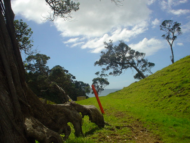
| The Whananaki Coastal Track follows bright orange marker posts along the coastline and offers spectacular views |
|
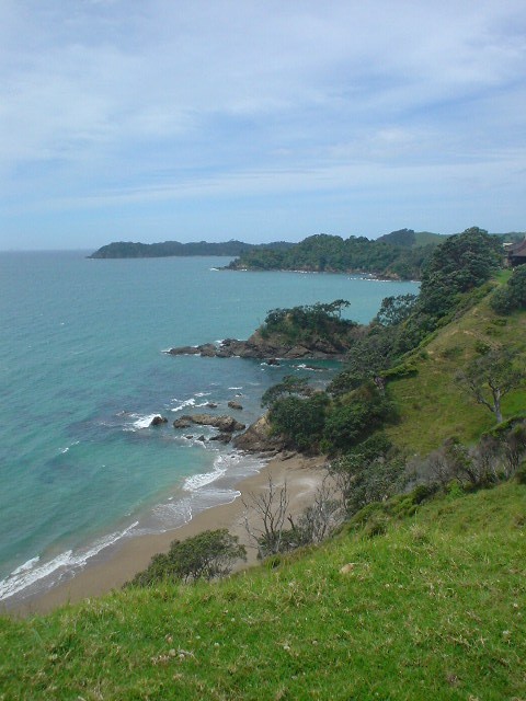
| Coastline from Whananaki Coastal Track |
|
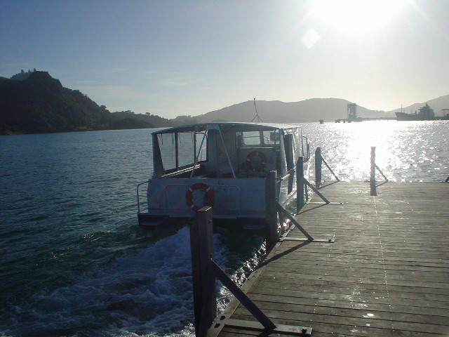
| Water taxi shuttling school children each day across the narrow mouth of Whangarei Harbour. The 2-kilometer ride takes less than 10 minutes, but to drive around the deeply "indented" Harbour from one side to the other would take an hour. |
|
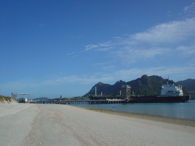
| An oil tanker unloads at Marsden Point, New Zealand's only oil refinery. The Te Araroa route on the beach passes directly under the oil pipelines leading from the boat to the shore. |
Page updated November 10, 2003