

|
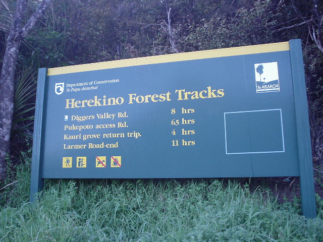
| Start of the new Herikino Forest Track, which is one of the earliest "linking" sections developed as part of the continuous Te Araroa route |
|
| An attempt to capture the majesty of the long-lived and sacred Kauri tree, at a grove in the Herikino Forest |
|
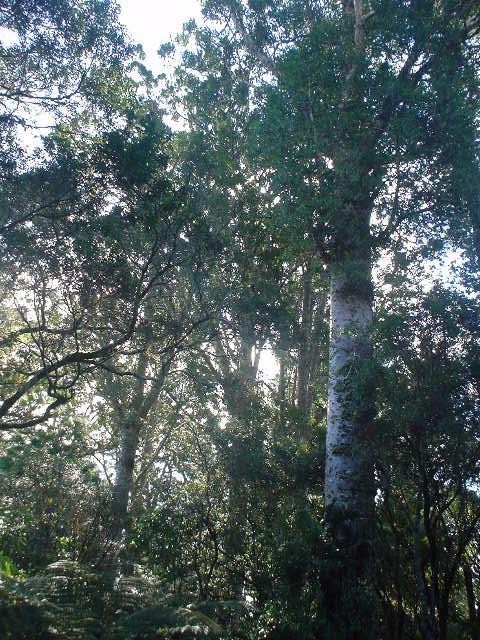
| Kauri tree canopy fills the sky |
|
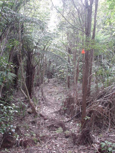
| "Friendly" orange triangles guide the hiker continuously along the dense forest tracks in Herekino and Raetea Forests |
|
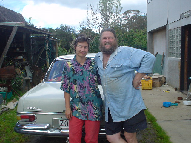
| Peter Griffiths and wife Sabrina in front of their well-running 1968 Mercedes. Not visible at right: the beautiful and architecturally innovative house Peter constructed himself. |
|
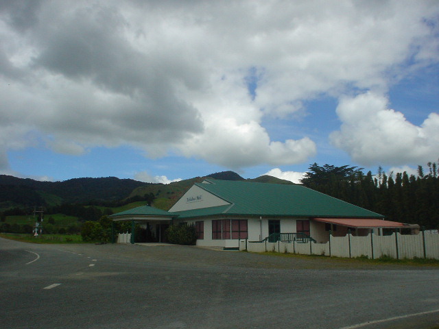
| Takahue Hall. Many small communities like Takahue have a community center like this. |
|
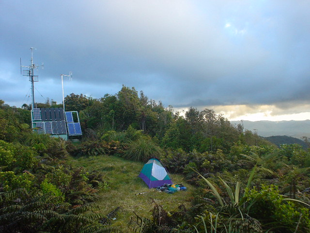
| Radio antenna atop Raetea peak. At 744 meters elevation (2400 feet), the peak is the highest point in the Far North region of North Island. The peak also sports a beautiful camping spot. |
|
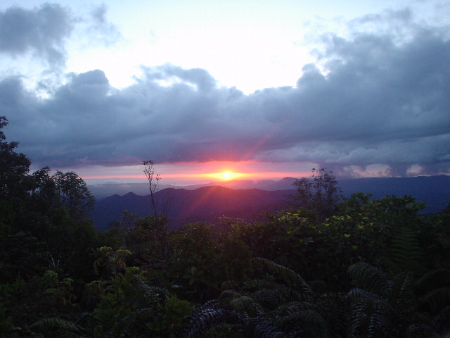
| Sunset from atop Raetea peak |
|
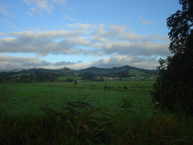
| The settlement of Mangamuka Bridge, an intermediate point of civilization between the Raetea and Omahuta forests |
|
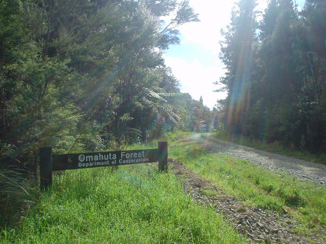
| Jacksons Road, a gravel (metalled) road leading into Omahuta Forest and up to the Omataroa Ridge Road |
|
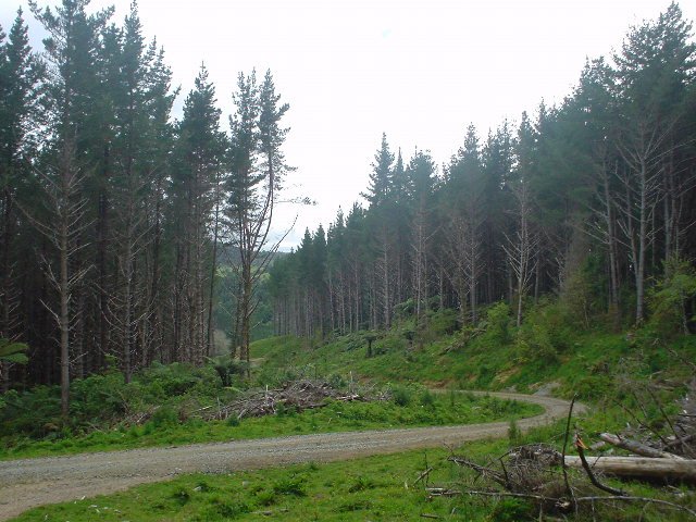
| "Exotic" (pine) forest plantations in Omahuta Forest |
|
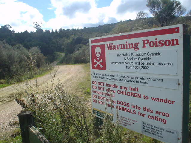
| Poison notice at road entering Puketi Forest. Bags of potassium cyanide pellets are lodged in the forest in an attempt to control opossum populations. |
|
| Kauri trees in the Puketi Manginangina Scenic Reserve |
|
| My first (hard to see in picture) glimpse of the Pacific Ocean on the island's east coast, while descending Pungaere Road towards Kerikeri |
Page updated October 27, 2003